Capture your field data quickly and accurately, the first time
Unleash the power of accuracy.
Better, faster and automated field data collection, processing, sketching and mapping.
Benefits we will deliver for you

Accurate and high-quality field data
Access the best information possible by ensuring that it’s precise and collected in real-time.

Repeatability
The next time you need to find the location, you'll know exactly where it is.

Cost-savings and efficiencies
Eliminate time-consuming manual workflows, reduce errors and minimize incidents and rework.

Automated digital records
Real-time data access data and information for faster-decision making and transparency about the data being collected, by who and when.
Our Products
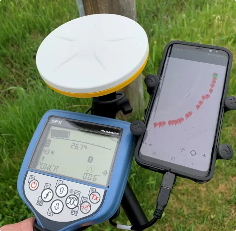
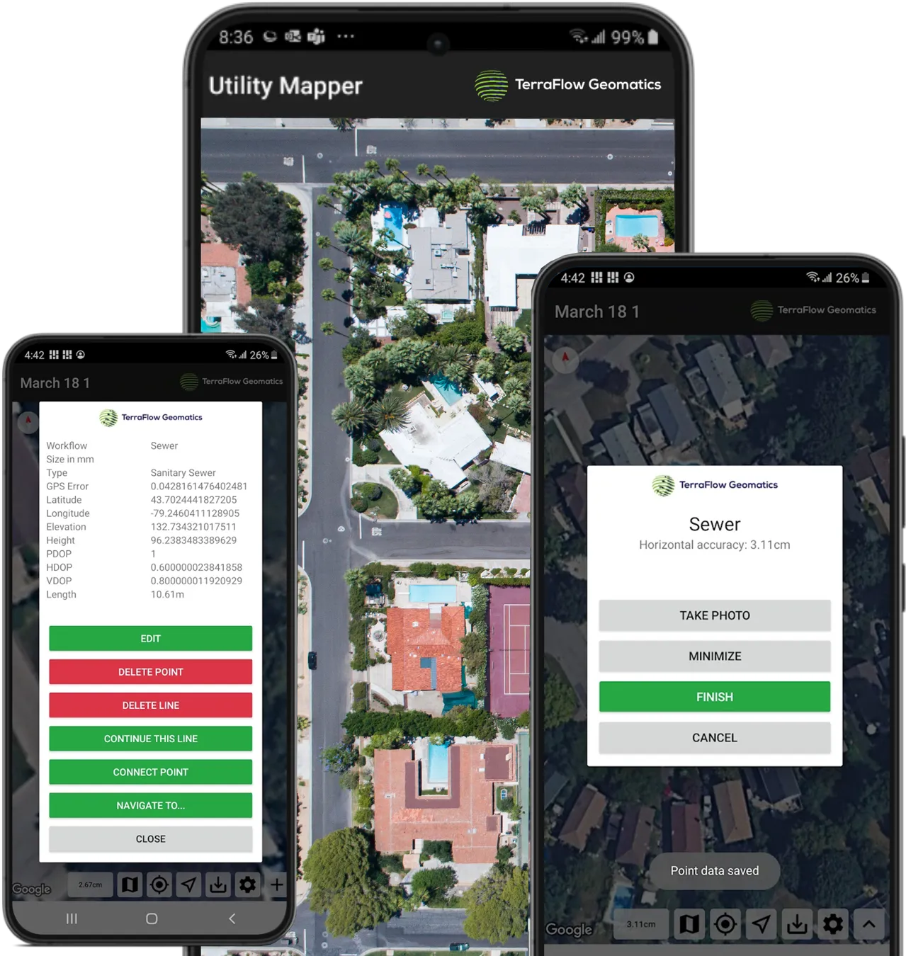
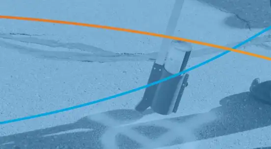
TerraFlow Mobile - Utility Mapper
High-accuracy collection and mapping for underground assets. One-click locate and mapping technology captures all location information and sketch functionality.
Learn More
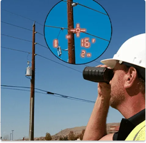
Pole Mapper
Quickly and seamlessly gather information about your overhead world with best-of-breed laser range finders, GPS and mobile technology.
Learn More
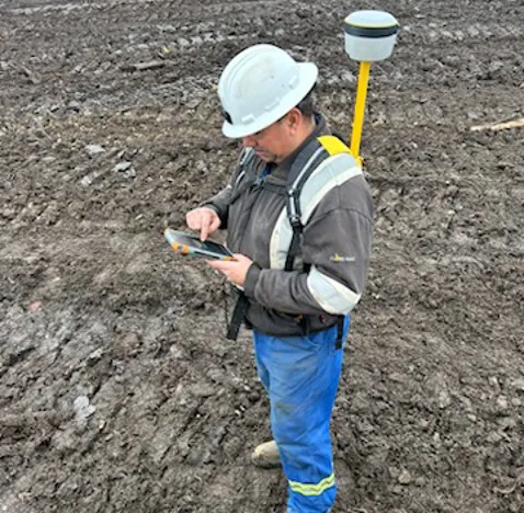
Surface Mapper
Guarantee landfill compliance and management by using high-accuracy GPS for real-time updates on height, slope and design patterns.
Learn More
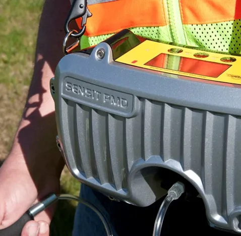
Sensor Mapper
Collect and aggregate sensor data for radiation and electromagnetic surveys or sonar. Spend less time on-site and generate valuable, actionable data.
Learn More
Data Engine
Data Engine is TerraFlow Geomatic’s automated data collection and integration platform.
Learn More
How customers are getting value from TerraFlow
Testimonials

Terraflow has been a wonderful addition to our SUE program. Not only does it allow us to collect locate data accurately, but it has also improved our field and office workflows to ensure quality and timely deliverables to our clients.
Terraflow has been instrumental in getting our Remediation Verification program off the ground and managing the mass of data that is collected on an ongoing basis. This program has run for 2.5 years so far with many more to come and we typically collect thousands of data points per day. Terraflow has allowed us to upload this data expediently and allow us to review results and make decisions in near real time. When we have had issues or growing pains they were there to help work toward a solution. We could not execute the work required without the software and support.
As a long time user of Terraflow systems such as Utility Mapper and Pole Mapper, I can attest to the exemplary service provided by Kieren and his team and would recommend their products to anyone working in the infrastructure mapping and data collection space.